Surveying
Boundary Surveys
Topographic Surveys
Right-of Way Surveys
Construction Staking
House Staking
Property Line Locates
Improvement Location Surveys
Elevation Certification (LOMA)
ALTA/ ACSM Surveys
As-Built Surveys
Subdivision Surveys
Earthwork Quantity Surveys
Courthouse Research – Deeds

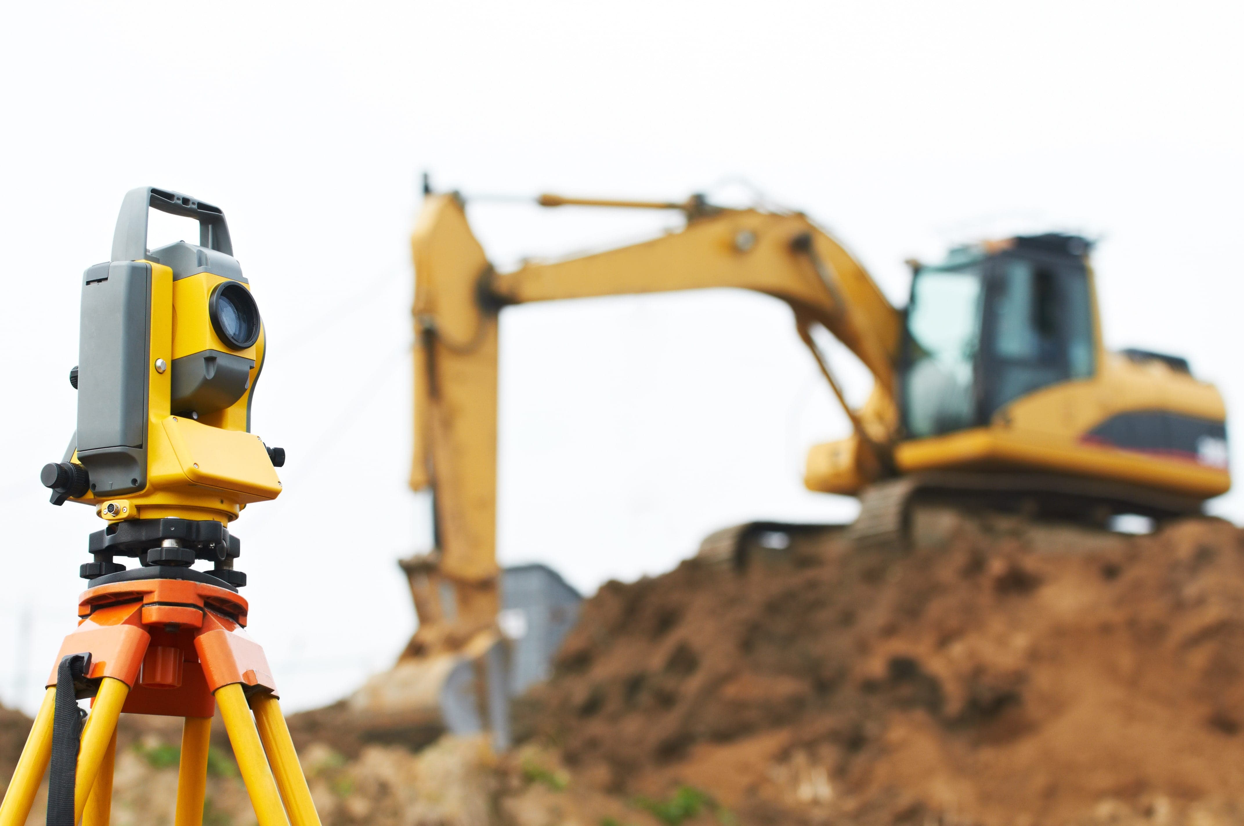
Advanced Consulting Engineering Services (ACES) guarantees you an accurately complete survey, done by a registered land surveyor, and completed in a timely manner. With a skilled survey crew & drafters, and state-of-the-art technology, we will meet your survey needs. An accurate survey is critical when buying or selling real estate, locating a property line, or buying or selling crop ground.

ACES can provide you with an Elevation Certificate(s) for your building(s) for the National Flood Insurance Program (NFIP). An Elevation Certificate is an administrative tool of the NFIP used to provide elevation information necessary to ensure compliance with community floodplain management ordinances, to determine the proper insurance premium rate, or support a request for a Letter of Map Amendment (LOMA). ACES will work with your insurance provider, and if warranted, will produce a LOMA for you building(s).
If you are building and want to make sure that your building is above the (Base Flood Elevation) BFE, ACES can come to your property and show you and your contractor where the BFE is.
Contact us for more information, or have your insurance company contact us. We will work with you to make sure you have an accurate elevation for your property. CALL – OFFICE: 402-372-1923 or EMAIL: mail@acesengineeringservices.com